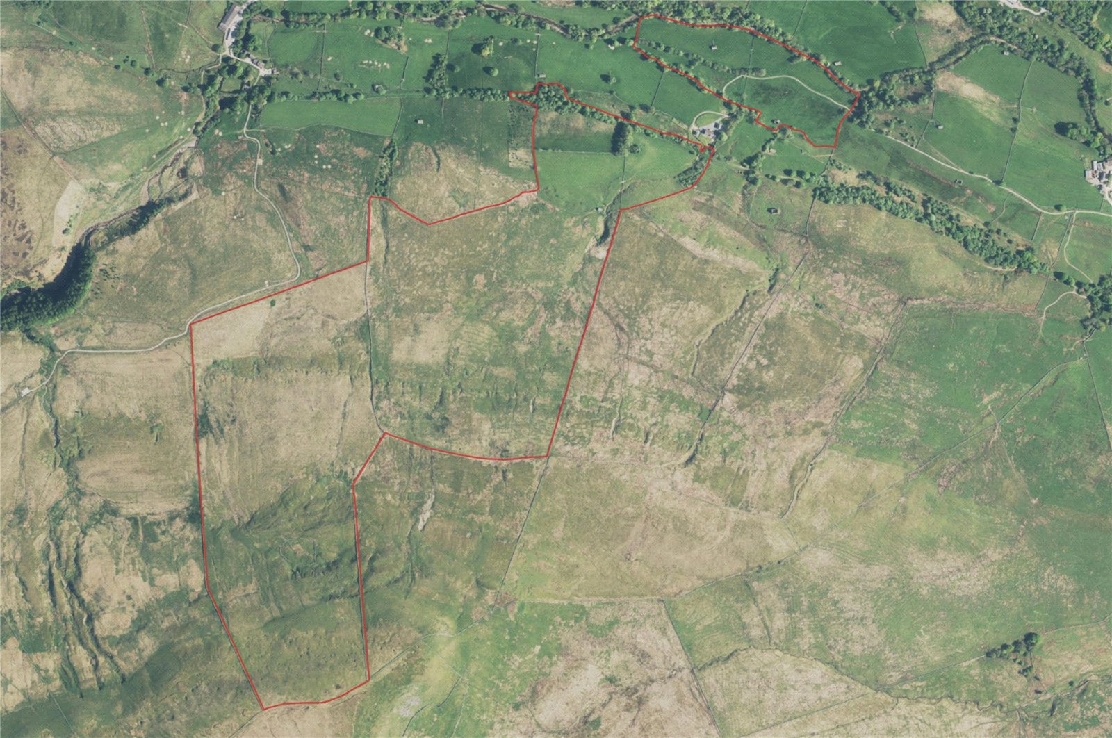
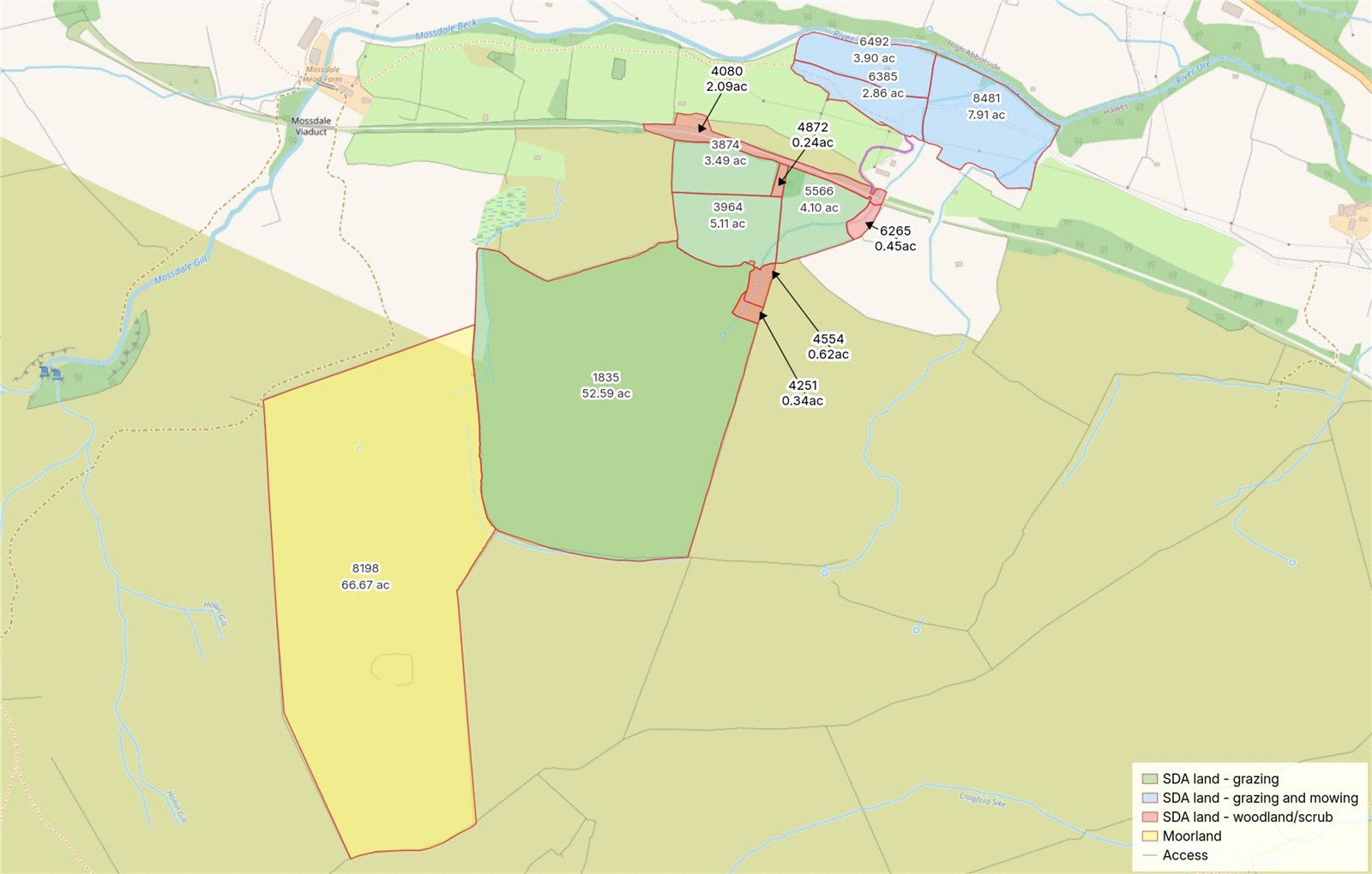
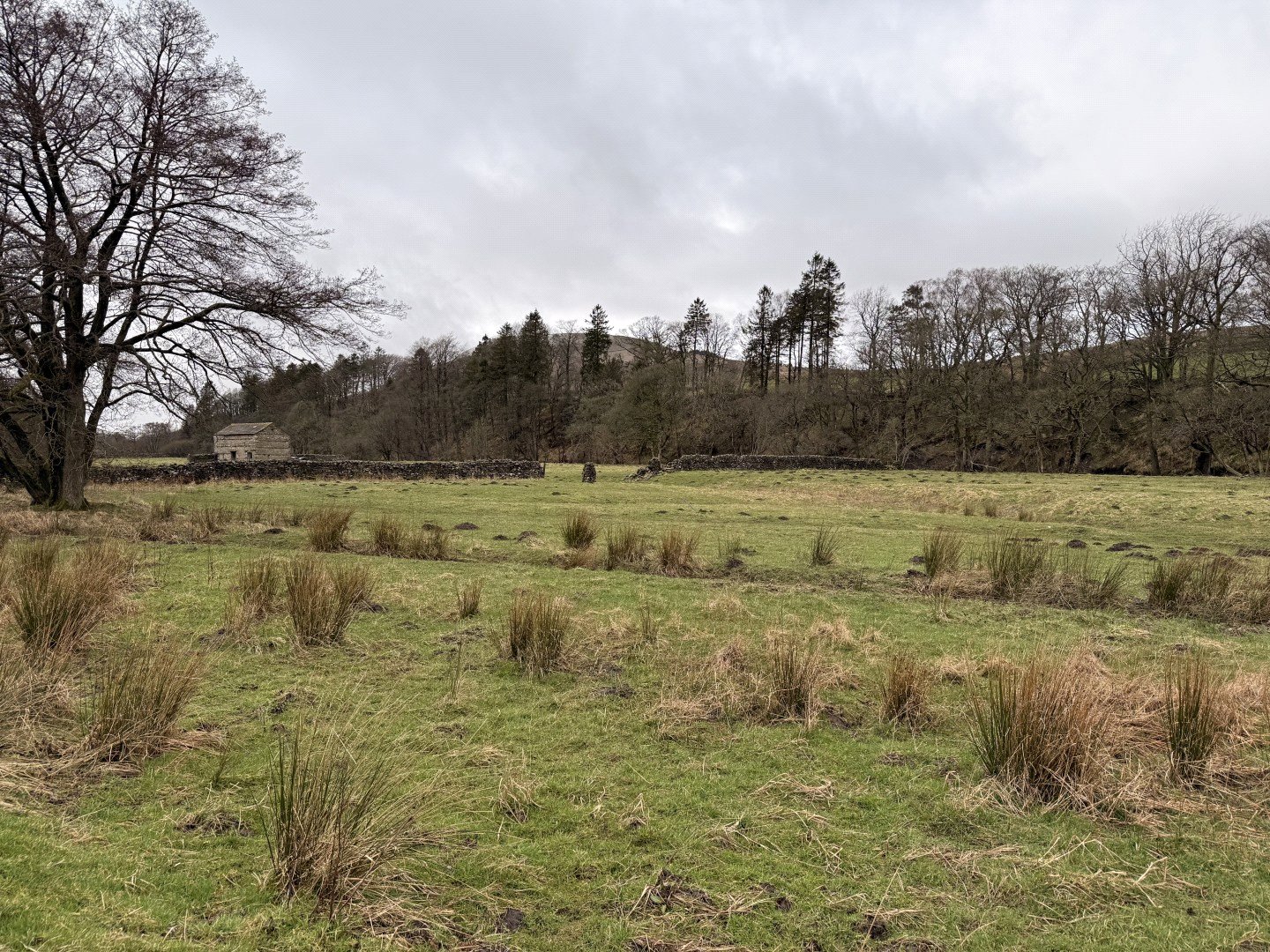
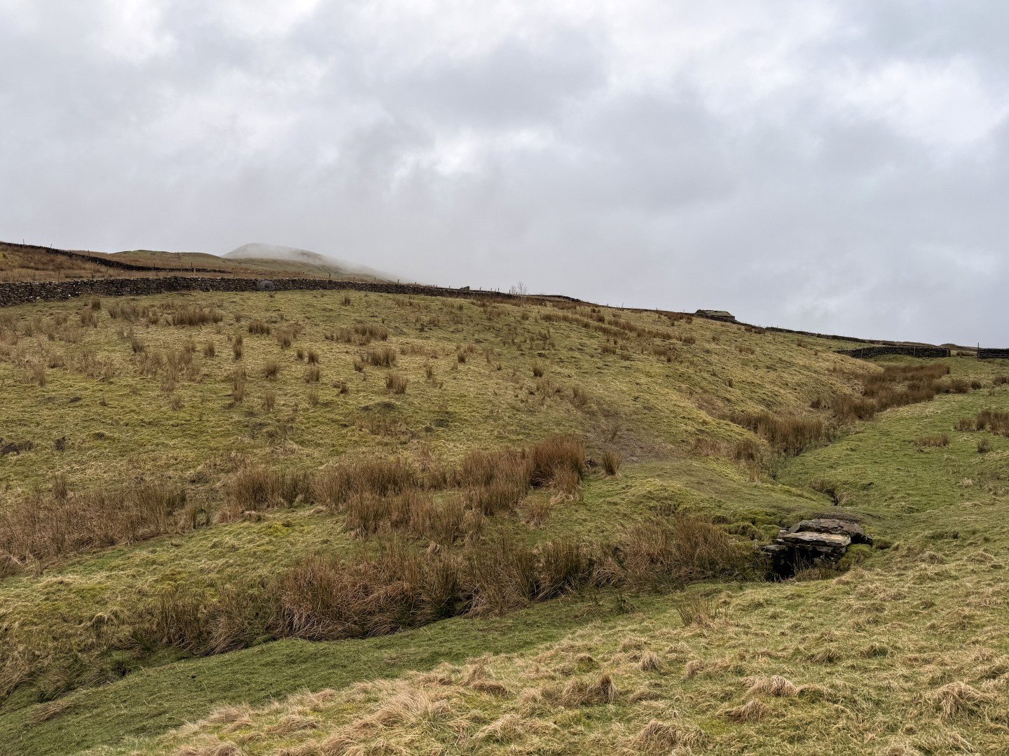
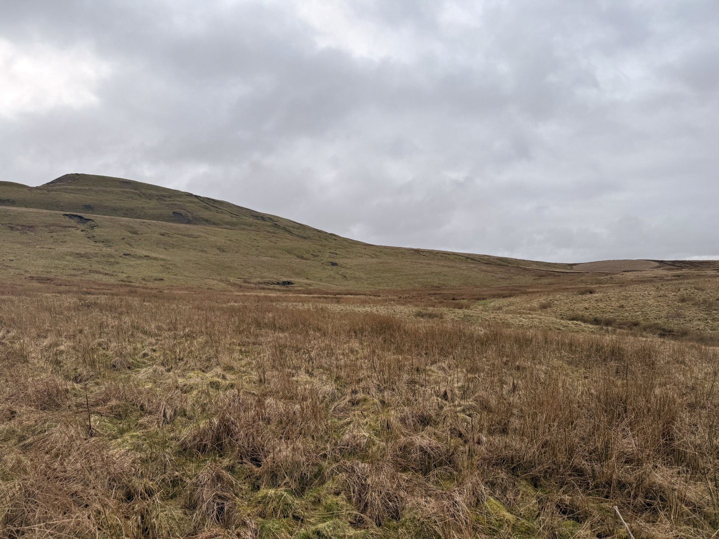
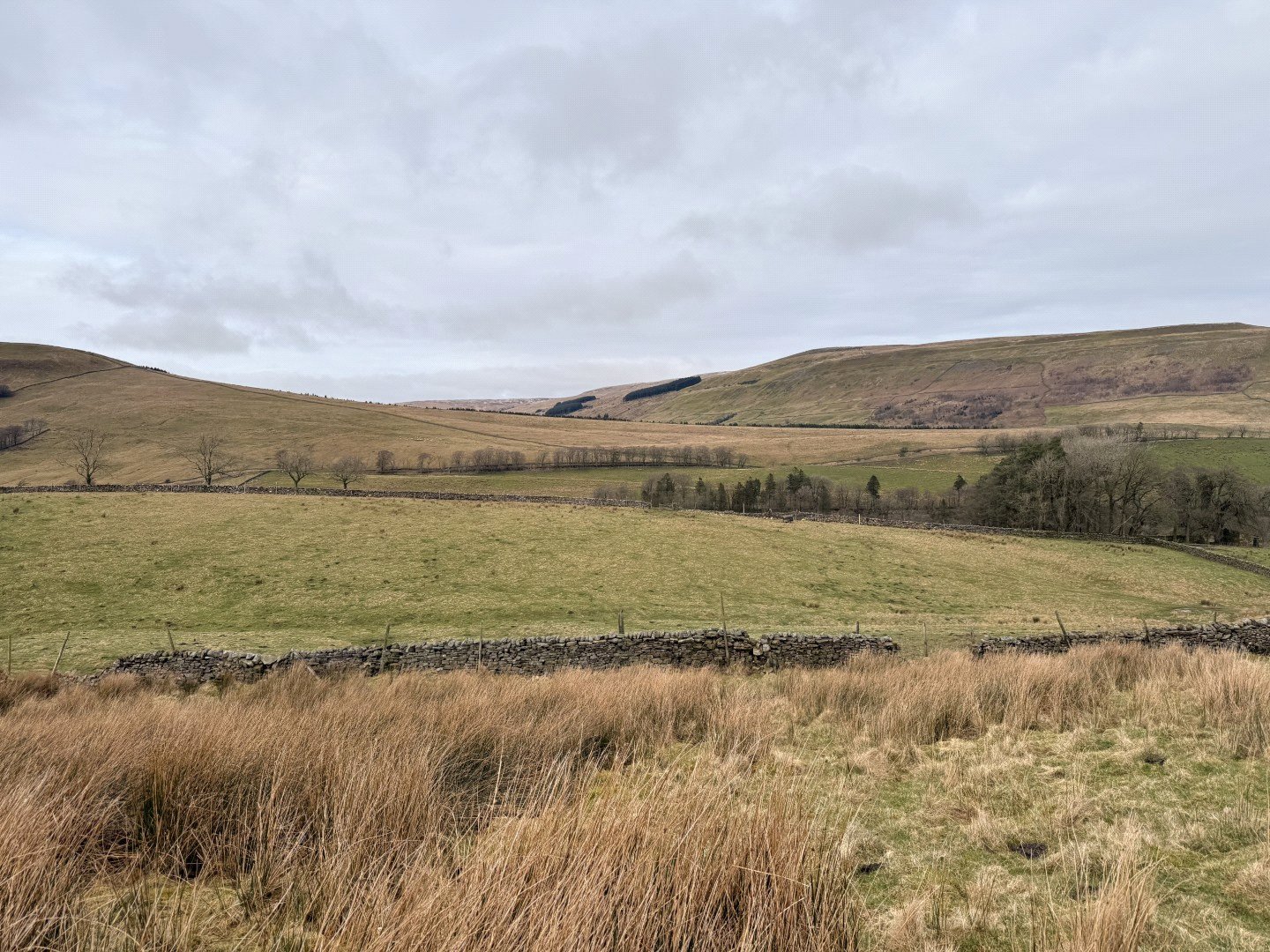
The land extends in total to approximately 150.29 Acres (60.82 Ha) and comprises a well-balanced block of agricultural and amenity land, with approximately 131.96 Acres (53.40 Ha) of permanent grassland suitable for grazing, of which around 66.67 Acres (26.98 Ha) is classified as moorland and the remaining land designated as Severely Disadvantaged Area (SDA).
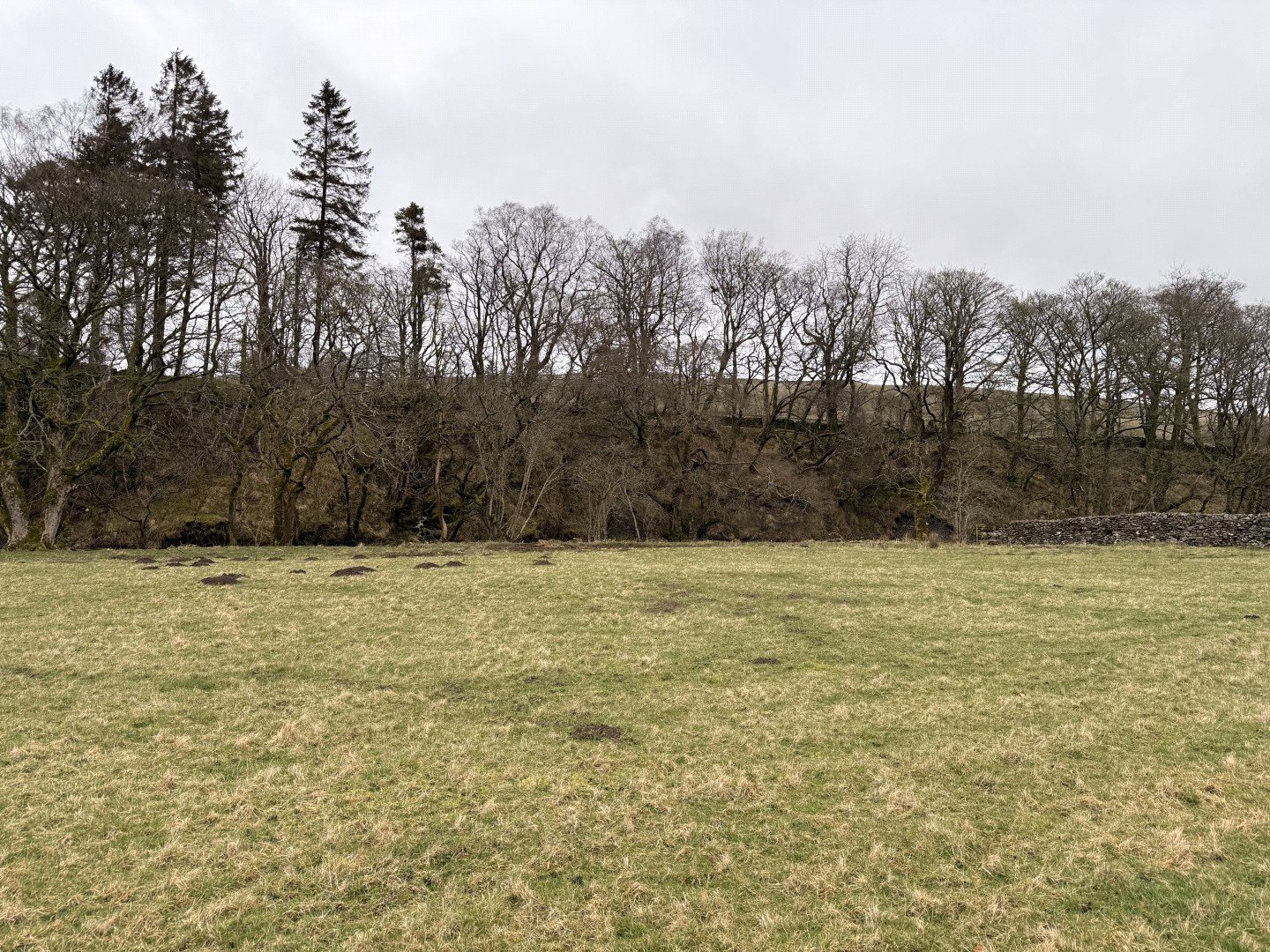
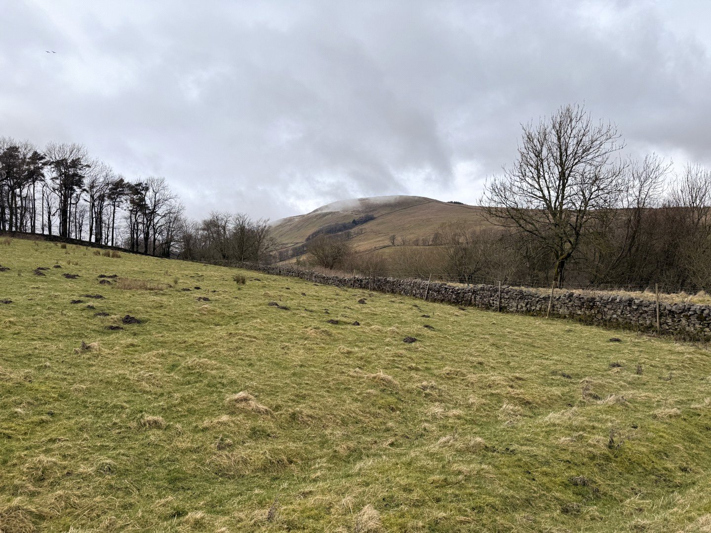
In addition, there are approximately 14.68 Acres (5.94 Ha) of level gradient land, which has been mowable in the past and offers good potential for continued grass production or forage. The sale also includes approximately 3.74 Acres (1.51 Ha) of woodland and scrub land, providing environmental interest and natural shelter for livestock. The land benefits from a natural water supply.
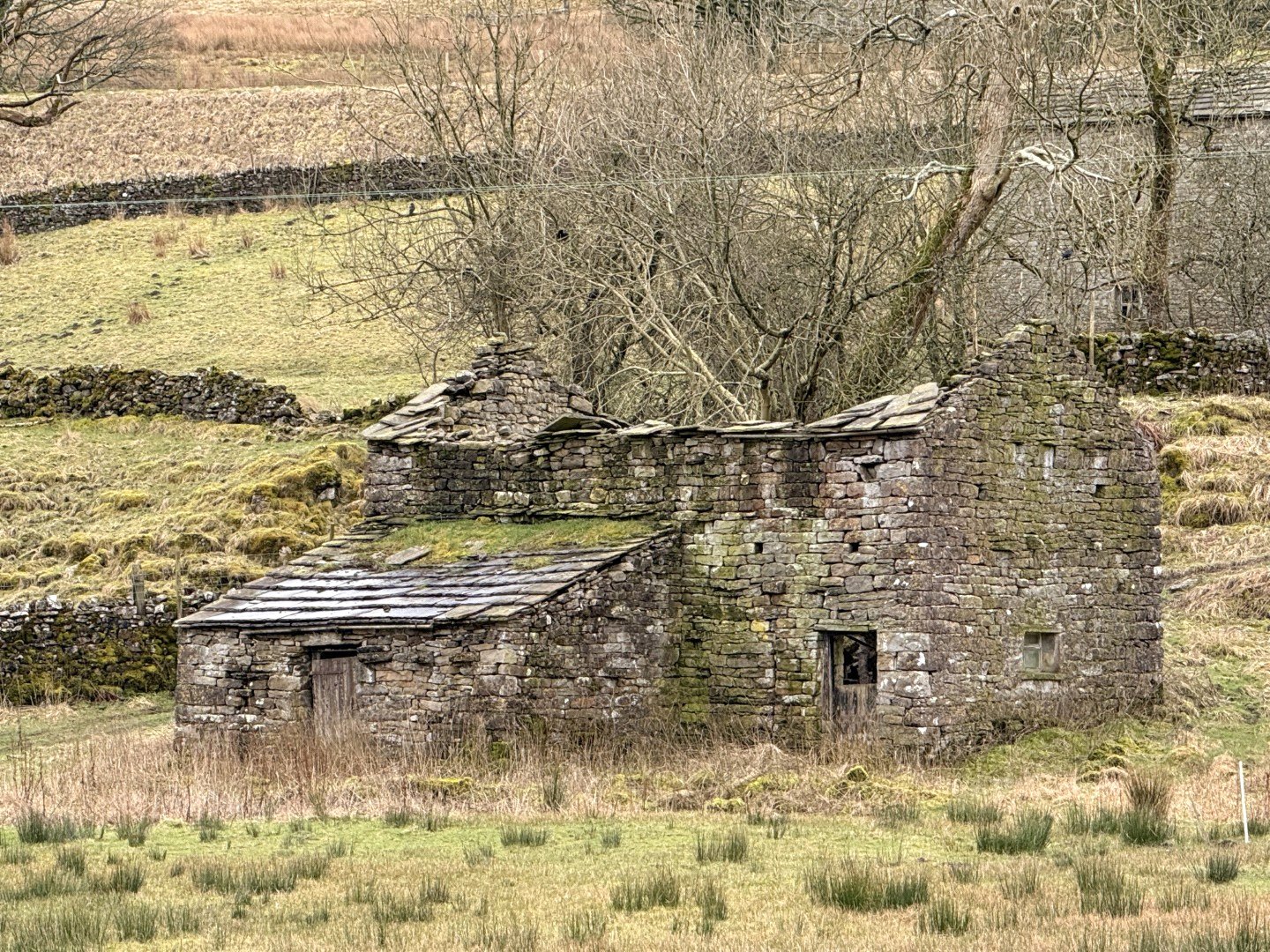
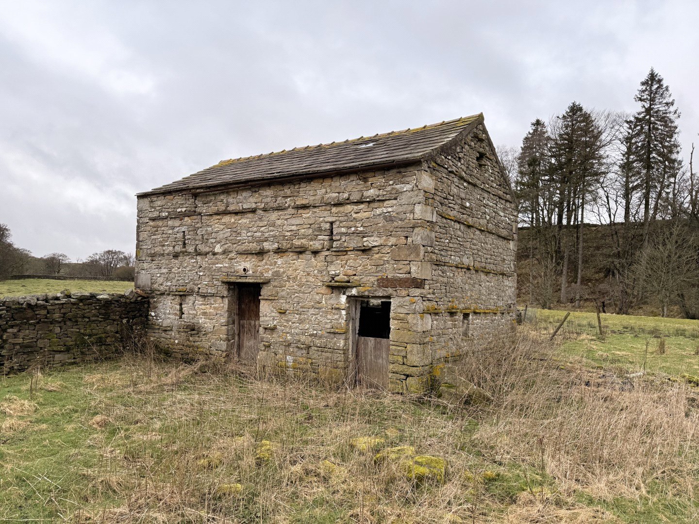
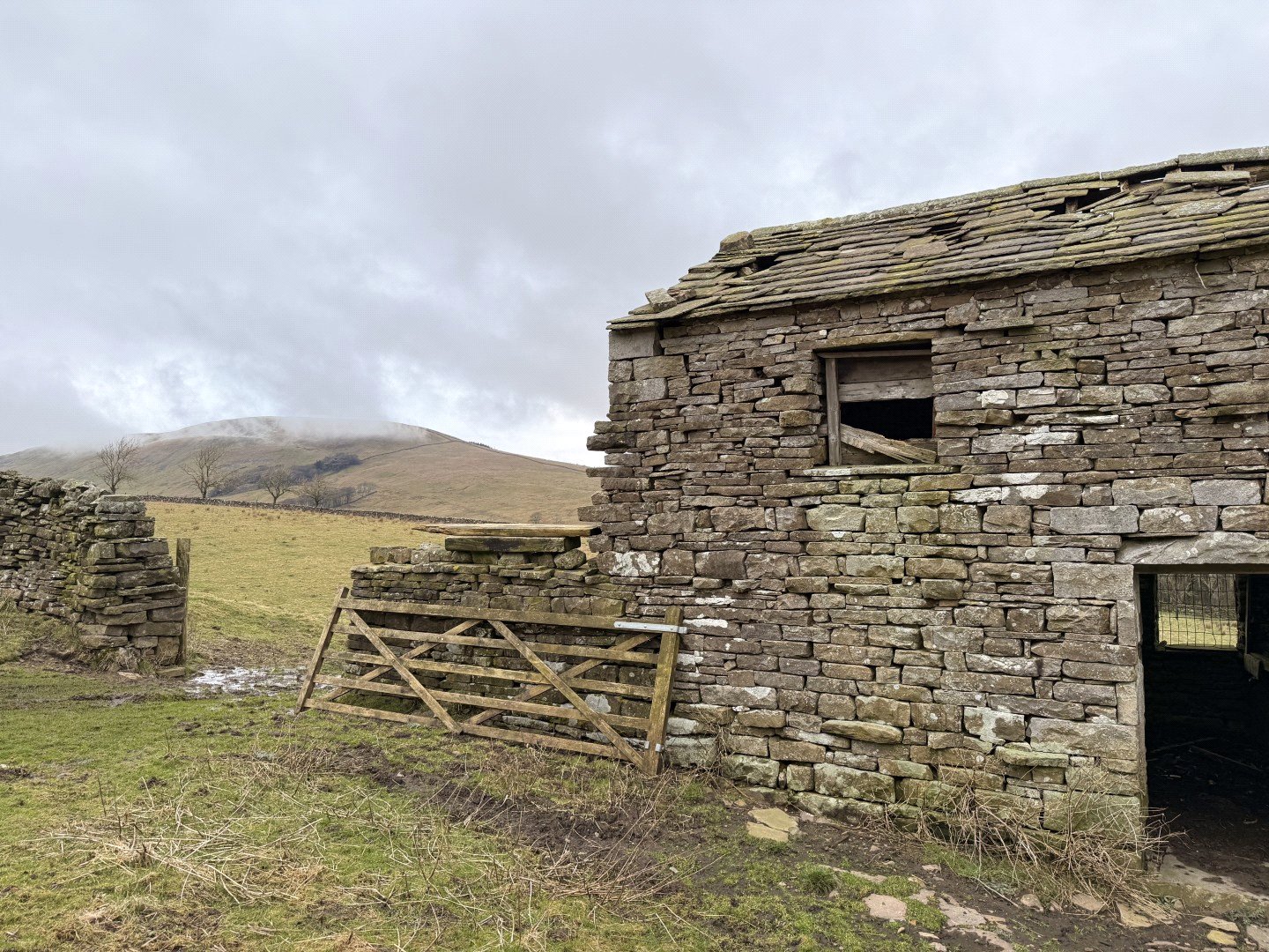
The land further benefits from four traditional stone-built in-field barns, offering useful agricultural storage and potential for alternative uses, subject to the necessary consents.
Boundaries
The land is well enclosed by predominantly stone wall boundaries, generally in stock-proof condition, with sections having benefited from recent restoration.
Mine and Mineral Rights
It is understood that the mines and minerals rights are excluded from the sale.
Public Rights of Way
The property is crossed by a single public footpath, over which a right of way exists.
Wayleaves, easements and rights of way
The property benefits from a range of rights and easements, including a right of way over the adjoining roadway for agricultural use with or without vehicles and machinery, comprehensive rights to install and maintain services such as water, drainage, gas, electricity, and telecommunications within or beneath the land, and the ability to access the property (with reasonable notice except in emergencies) for inspection, repair, and maintenance of such services, subject to making good any damage caused; additionally, the property retains full rights to light and air to prevent interference from neighbouring land, supporting both its current use and future potential.
Please note, the neighbouring farmer has a right of pedestrian and vehicular access over field number 8481.
A creation agreement has been entered into over the former railway corridor crossing the land in question, to enable the Yorkshire Dales National Park Authority to establish a multi-user route. This proposal remains under active discussion and has yet to be finalised or formally implemented
Tenure & Possession
The property is held freehold, comprising the land edged red on the accompanying Land Registry title plan.
Grants and schemes
The land has an active Countryside Stewardship Higher Level agreement, which sums in the region of £10,000 annually.
Utilities
There are no utilities present upon the land.
Local Authority
North Yorkshire Council
what3words
Every three metre square of the world has been given a unique combination of three words.
///renew.stunts.rant
Viewings
Viewings are strictly by prior appointment with GFW.
Please note; the land is accessed via a track which leads through a private property called Mid Mossdale. The access point to the higher level of Moorland can only be approached on foot or via a 4 x 4 Vehicle.
Contact Branch
Barnard Castle
14c Redwell Court
Harmire Enterprise Park
Barnard Castle
County Durham
DL12 8BN