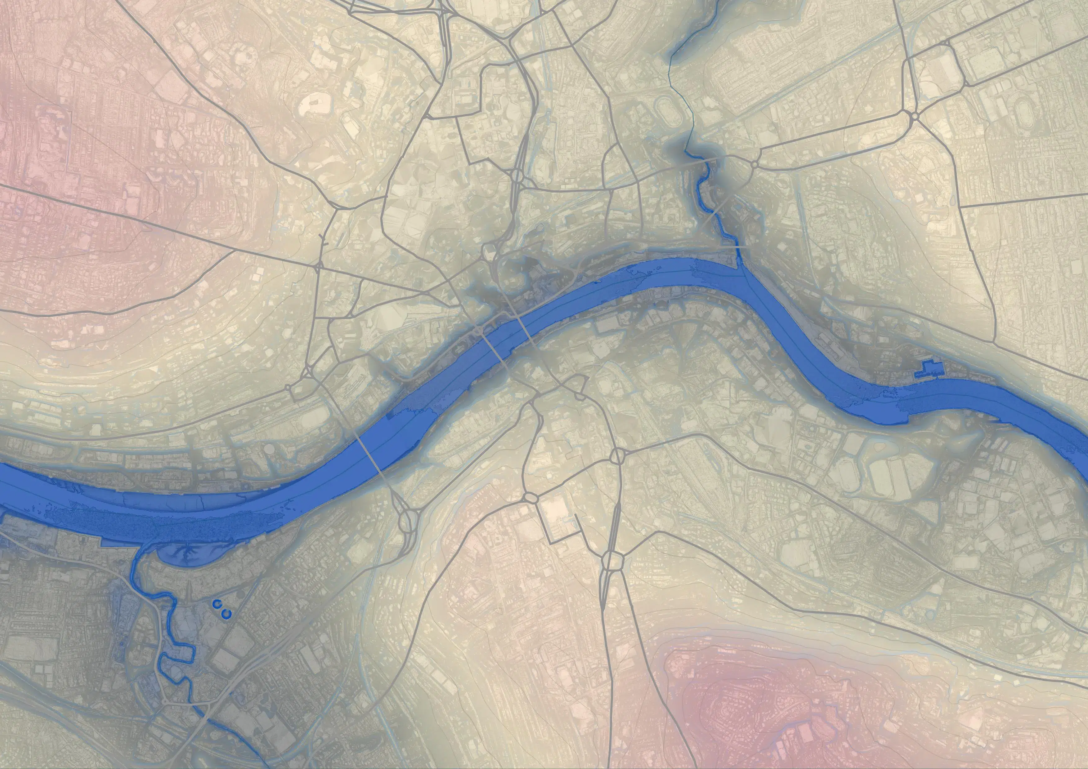
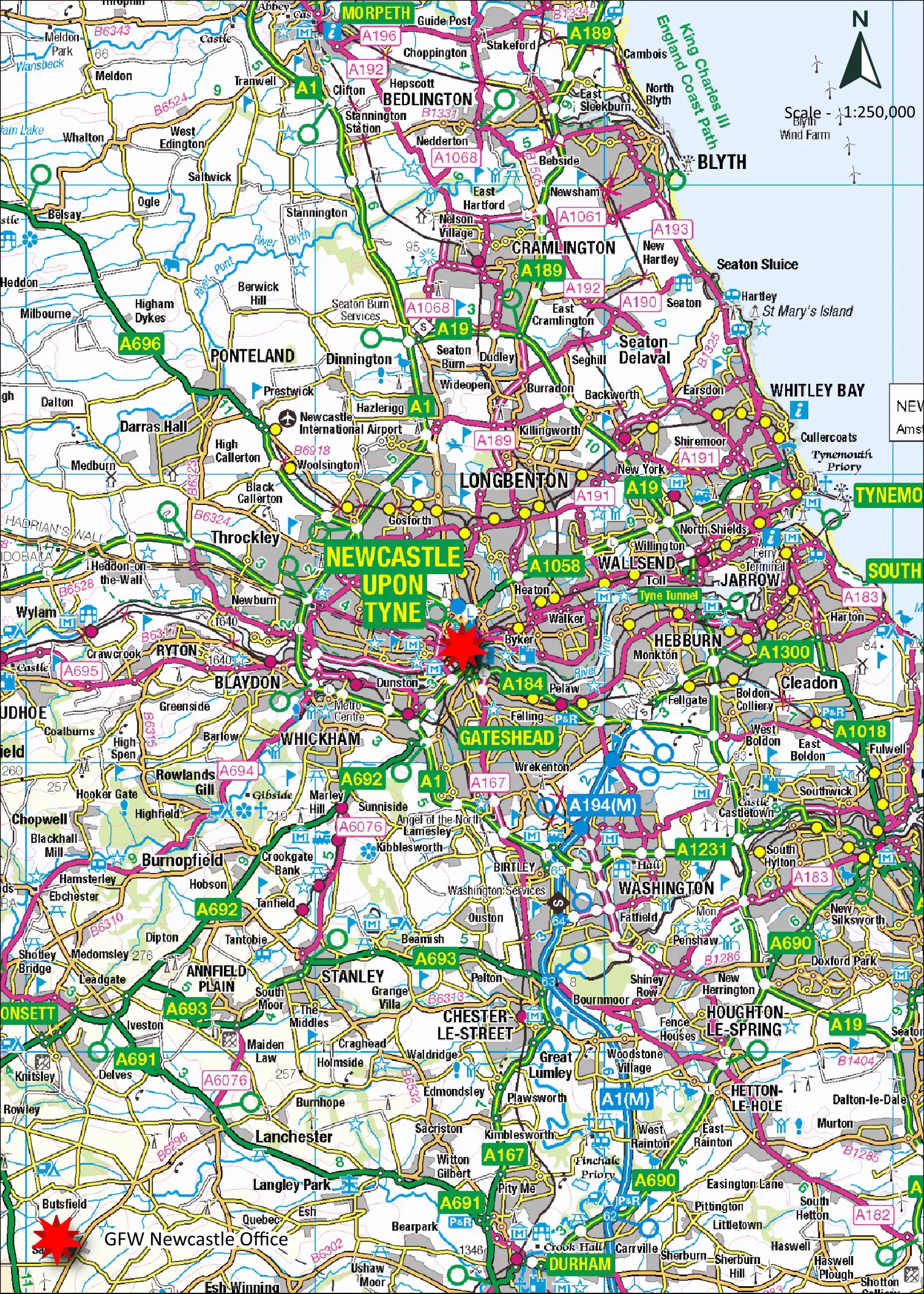
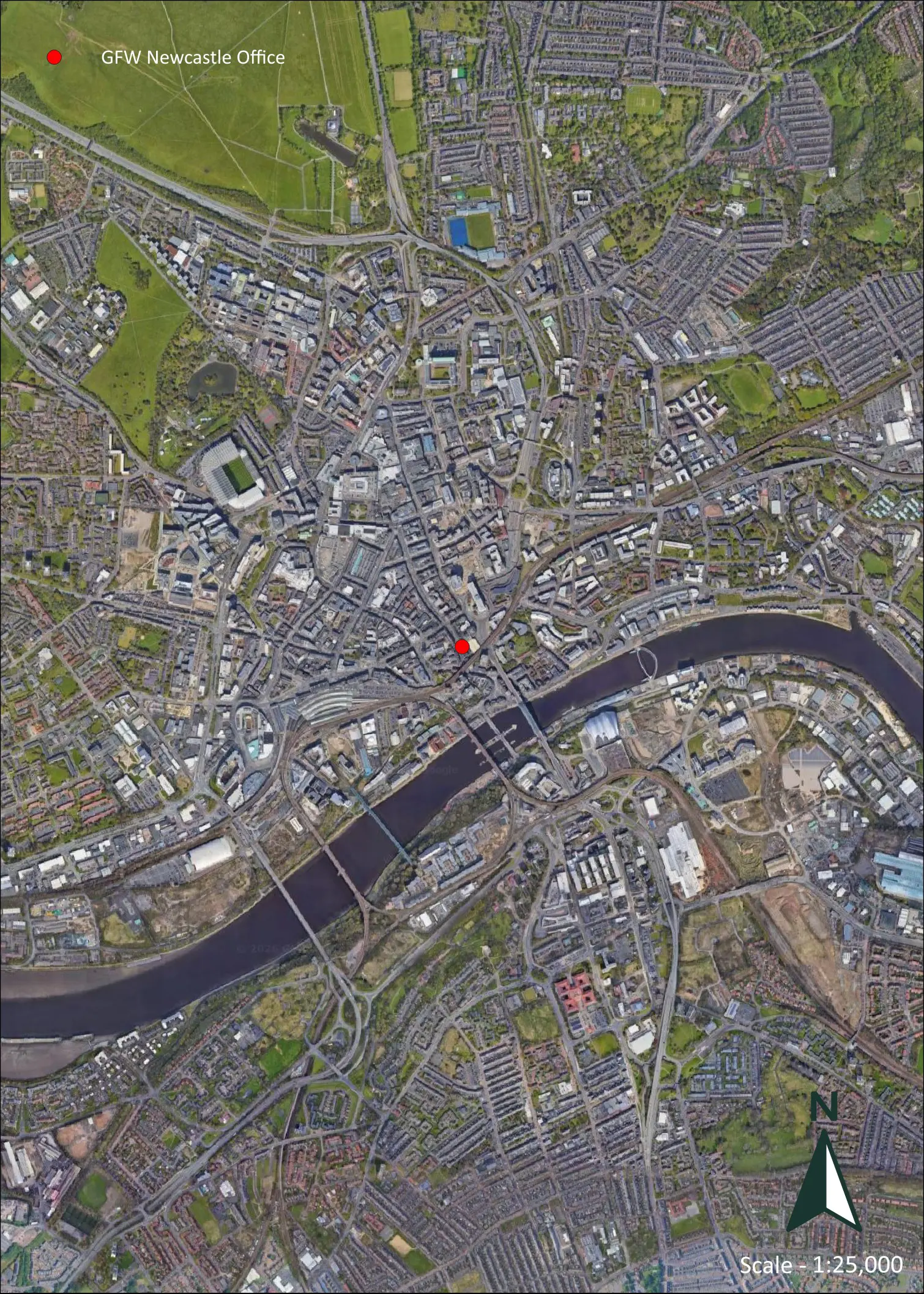
GIS (Geographic Information Systems) is a catalogue of digital tools used to edit and visualise spatial data to analyse land and property with clarity and precision.
At GFW, we use advanced mapping technology to turn complex spatial data into clear, practical insight – supporting planning, development and land management decisions. From Land Registry-compliant drawings to fully bespoke plans, our mapping is tailored to each project.
-
Our GIS Services.
Our GIS capability plays a key role in site finding and appraisal, helping uncover opportunities across a wide range of uses.
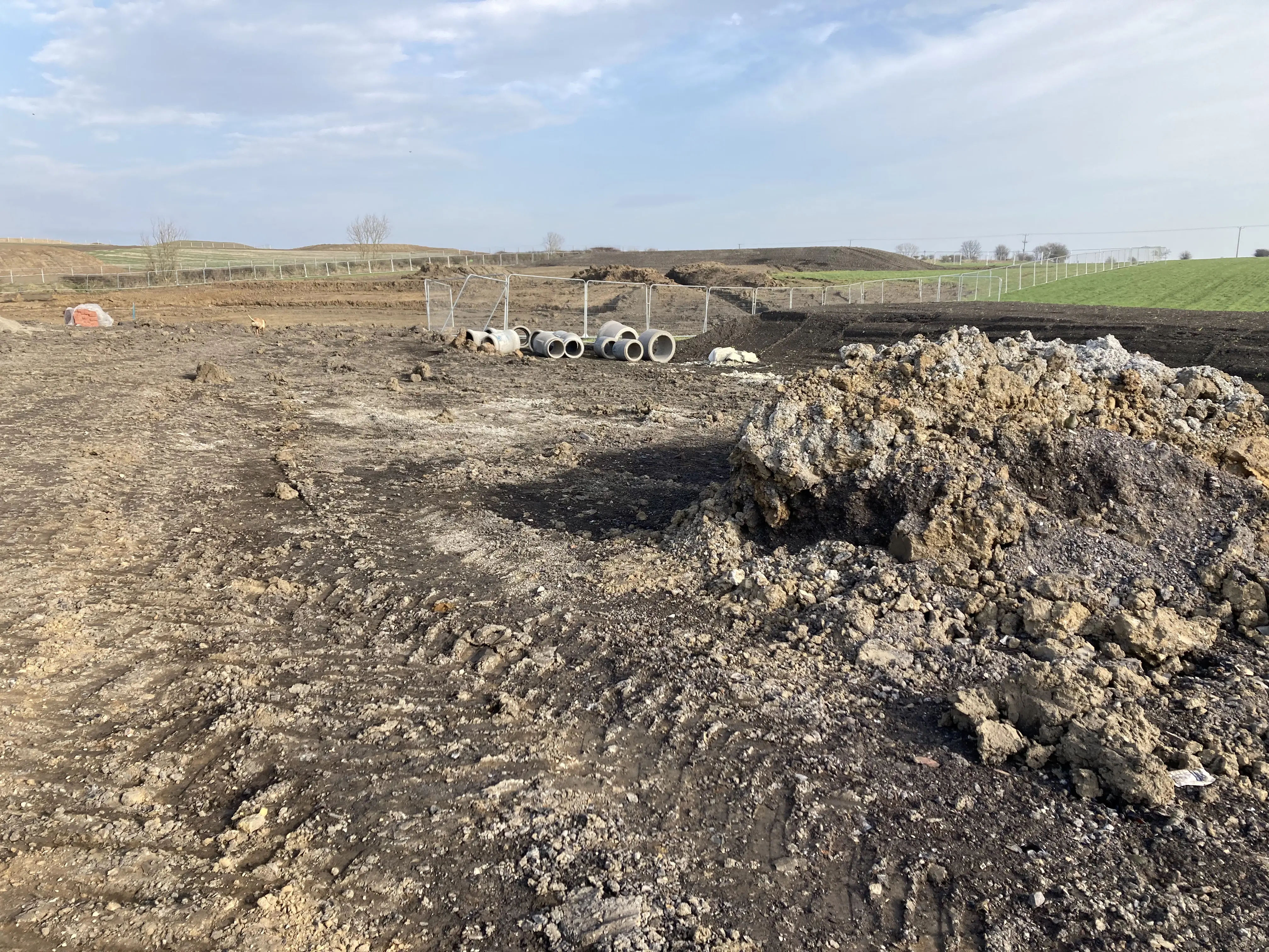
We also carry out on-site surveys to accurately measure and verify site features, providing clear evidence for boundary analysis and supporting confident decision-making.
Services include:
- Land Registry compliant title plan creation
- Transfer Plans
- Farm Terriers – Field and Building Plans and Schedules
- Boundary Dispute resolution service
- Drone Surveys
- Overlaying historical plans / conveyances over modern boundaries
- Cont…
-
Our GIS Services.
- Tenancy / Lease Plans
- Estate Management Services
- 3D Modelling and visualisation
- Environmental constraint identification
- Estate Mapping
- Site Survey and GNSS service
- Development site identification and assessment services
- Heat Maps
- Creation of bespoke plans
-
GIS Rural.
GIS helps rural clients understand their assets and create accurate terriers (registers) of land and buildings. By translating geospatial data into clear maps and plans, it provides practical tools to plan and manage land and property use, while creating a valuable long-term record to support succession planning, inform management decisions, provide an insurance record, and enable applications such as planning, subsidies and environmental schemes.
Services include:
- Estate Mapping
- Farm Terriers; including field plans, and building schedules
- Environmental constraint identification
- Mapping of services and utilities, including for compensation purposes
- Cont…
-
GIS Rural.
- Tenancy / Lease Plans
- Overlaying historical plans / conveyances over modern boundaries
- Boundary Dispute service
- Land Registry compliant title plan creation
- Transfer Plans
- Site Survey and GNSS service
- Land Registry compliant title plan creation for un-registered land
- Expert witness work – supporting evidence through geospatial maps and plans including analysis of cross referencing historical and contemporary data
-
GIS Commercial.
GIS provides powerful tools for managing and analysing commercial property and land data. From maintaining asset registers to using constraints-based searches, it helps businesses identify opportunities for acquisition, relocation or expansion, while turning complex data into clear, practical outputs.
We design, build and manage bespoke ESRI ArcGIS platforms for clients with UK-wide portfolios, enabling project-specific information to be stored, managed and accessed in one place – supporting lease management, maintenance scheduling, and asset audits and appraisals.
Services include:
- Land Registry compliant title plan creation
- Transfer Plans
- Boundary Dispute service
- Cont…
-
GIS Commercial .
- Drone Surveys (including as part of a Building Survey)
- Tenancy / Lease Plans
- Estate Management Services
- 3D Modelling and visualisation
- Site Survey and GNSS service
- Development site identification and assessment services
- Creation of bespoke plans
- Mapping services and utilities, including for compensation purposes
- Site finding
-
GIS Development.
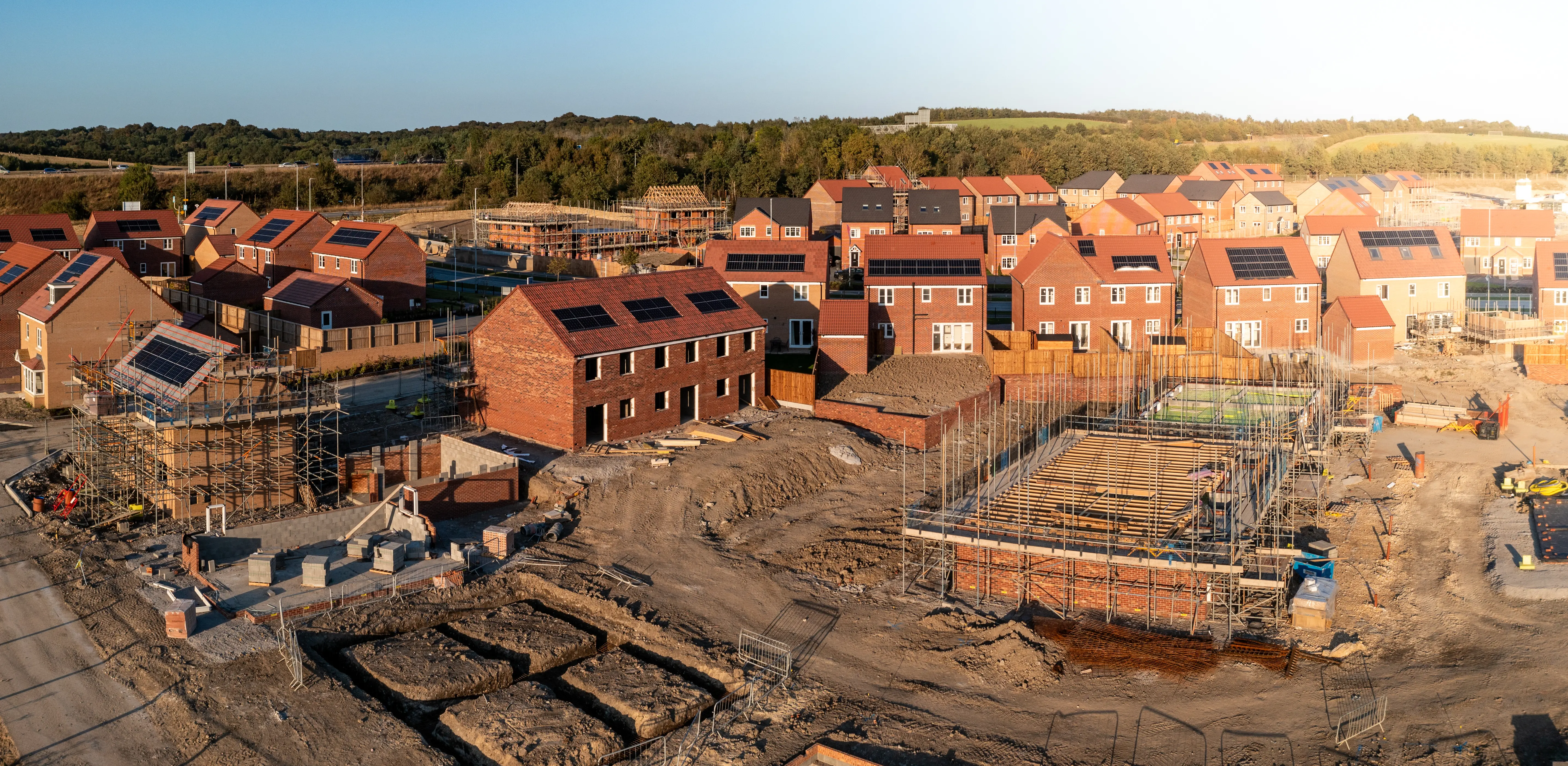
GIS is a key part of our Planning and Development (PAD) work, enabling detailed site analysis and helping define constraints and opportunities. By integrating a wide range of spatial data – including utilities (above and below ground), demographics, transport links, built form (including heritage features and density), and physical characteristics such as terrain through remote sensing – we build a clear understanding of each site’s environmental and legislative context.
This insight underpins masterplanning, ensuring site layouts are responsive, informed and strategically sound, while supporting the preparation of red line boundary plans and Land Registry-compliant plans where sites are developed, subdivided or boundaries evolve.
Services include:
- Site Survey and GNSS service
- Drone Surveys
- Cont…
-
GIS Development .
- Overlaying historical plans / conveyances over modern boundaries.
- Environmental constraint identification
- Development site identification and assessment services
- Heat Maps
- Creation of bespoke plans
- 3D Modelling and visualisation